To the White Sands National Monument…

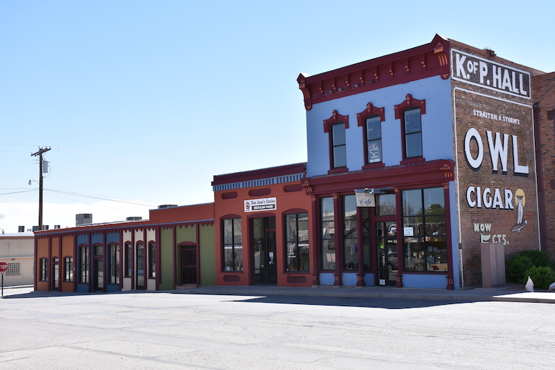
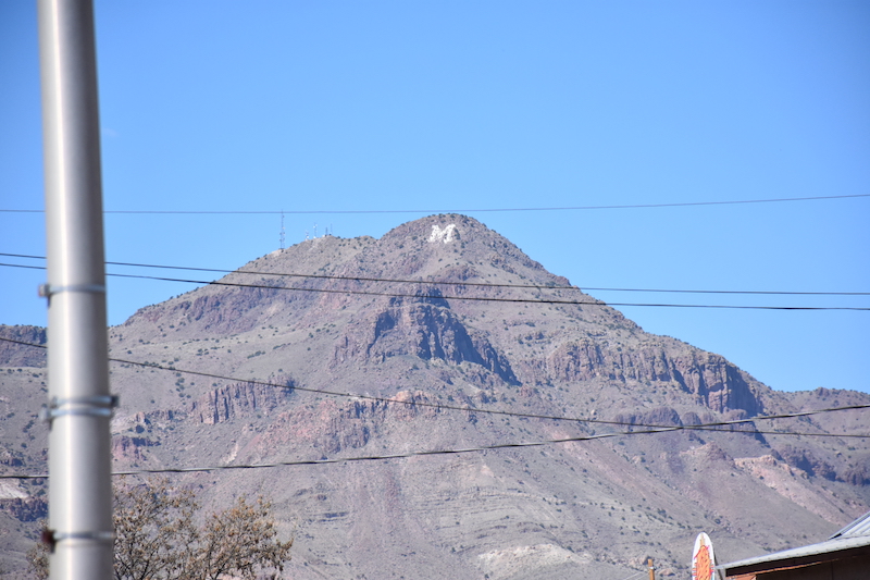
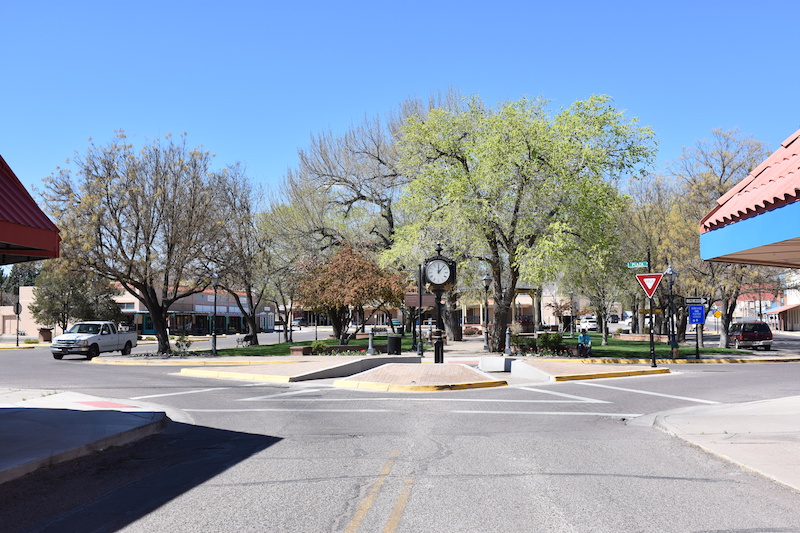
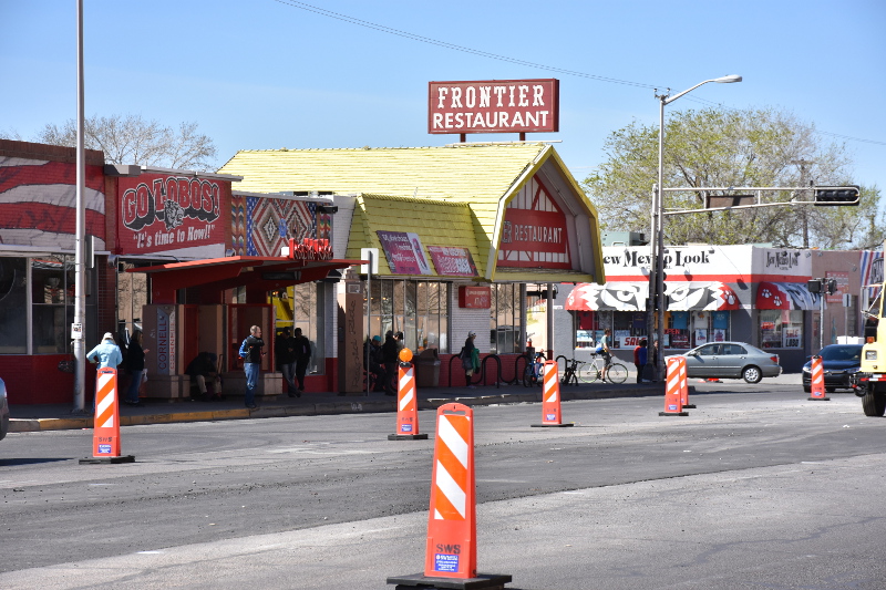
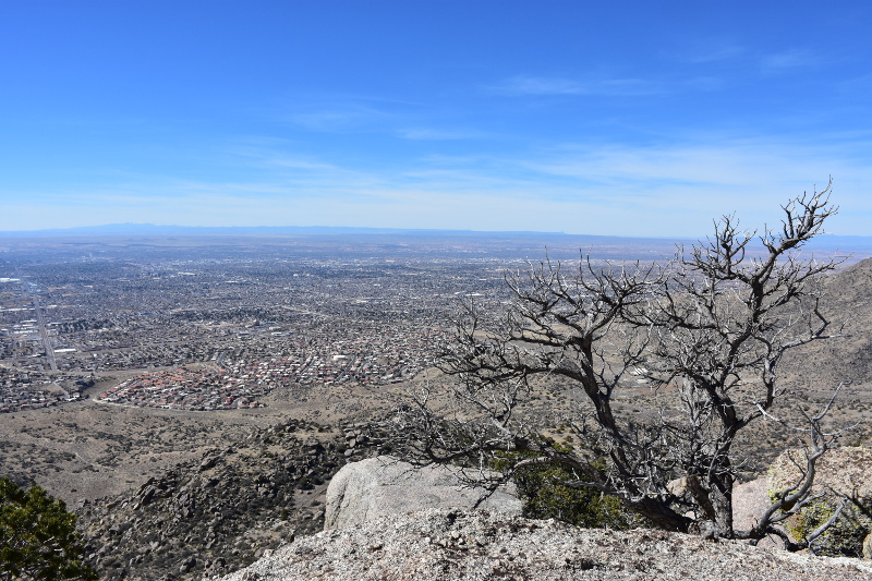
New Mexico’s landscape might be desertlike, but nowhere near from uninteresting! There is a lot to see along those 380km that link Albuquerque to the White Sands. Starting from Albuquerque, we took the I-25 down to San Antonio, passing (and stopping) through Socorro. Home of the New Mexico Institute of Mining and Technology, the Karl G. Jansky Very Large Array (a radio astronomy observatory which is part of the National Radio Astronomy Observatory) and one of the hardest golf course in the world (the Elfego Baca Golf Shootout), it even has a M Mountain!

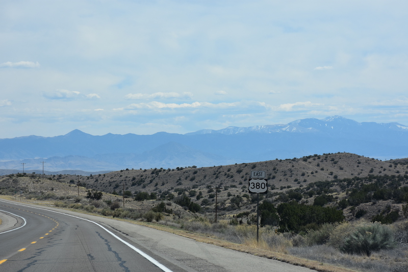
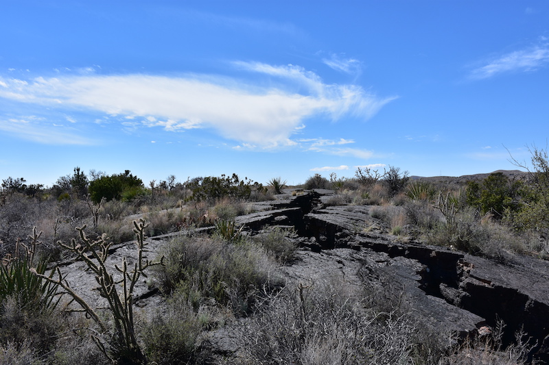
From San Antonio we took the road 380 towards the East; more than 100km driving with only 2-3 ranches on the horizon but passing “next to” the Trinity Site, where the first nuclear weapon was detonated in 1945. Just before reaching Carrizozo, we cross the Malpais Lava flow, which you can clearly see from a satellite view. Finally, we headed south again to Alamogordo and the White Sands National Monument. Nearby, the White Sands Missile Range hosts every year the Bataan Memorial Death March, honouring soldier defending the Philippine Islands during WWII, which brought, this year, 7000 people to the town.

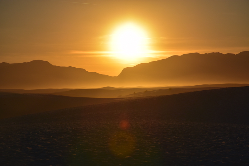
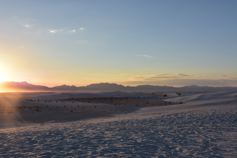
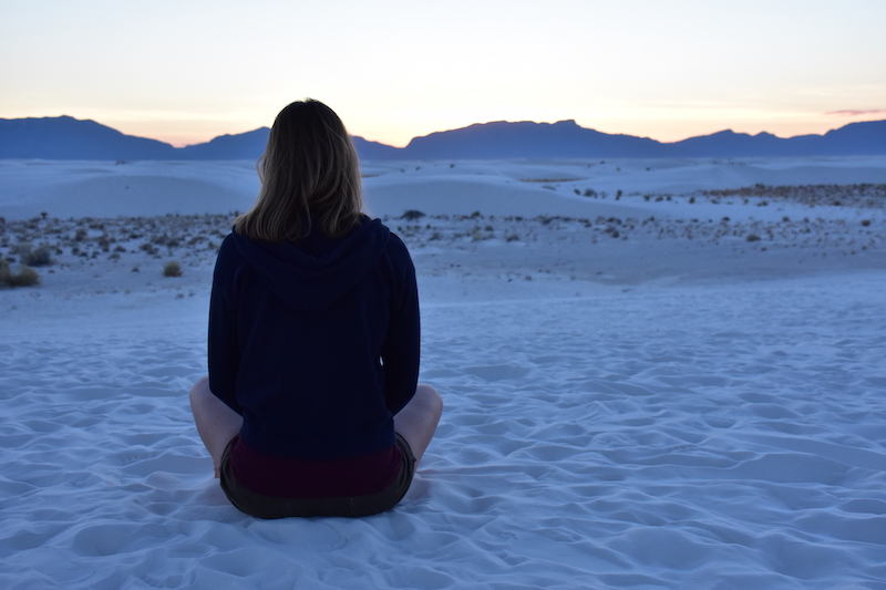
As contradictory as it might sound, the National Monument is sometimes closed to public due to missile tests run by the Holloman Air Force Base situated just next to it! But if it is open and you feel somehow adventurous, there’s a possibility to camp within the monument, but you have to get there early in the day as only 10 primitive campgrounds are available and all taken by latest 1pm!

Socorro means help in Spanish The M Mountain, west of the city Socorro Historic Plaza Towards East on the  Road 380 Approaching the Lava Flow The Carrizozo Malpais Lava Flow Sunset in the White Sands dunes Looking North-West White quietness

Central Avenue (Historic U.S. Route 66)

From Wyoming @ Central all the way down to Downtown… A walk you have to take if you want to feel the American way of advertising! This avenue is a lively street with all possible shops (supermarkets, barber shops, motels, restaurants, cafes, art and clothes stores,…). This street passes through the Old Town, Nob Hill and also links Downtown to the University of New Mexico and is, therefore, used by a great number of commuters and is still considered as the main street of the city.
Three bus lines, two of which are rapid lines, are currently serving this section. People believing in a future for public transports, a new line is being built; the ARTThis line, which will have its own lane except for some sections where it will use mix traffic route, will connect Central @ Unser Transporter Center to Coronado Center or Central @ Tramway. But there is a division of opinion regarding the construction work. Part of the population is pleased that public transport is in full development, but another is afraid that the accessibility to businesses in car and the possibility to park on the sides of the road will affect the economy itself.

New Mexico: Land of Enchantment AND Aliens? Historic Route 66 STOP ART All means are good to attract customers! Jaque Fragua, Ernest Doty and Ryan Montoya (Bomb the Canvas) Frontier - Art gallery restaurant since 1971

The Eye of the Sandias Trail

Die schönen Tage sind zurück! Das heißt, ich gehe wiedermal einen von diesen vielen Trails entdecken. The Eye of the Sandias war dieses mal dran. Der Trail startet vom vorletzten Trailhead gegen Süden (Copper Trailhead), und steigt dann zwischen den Felsen bis zum bekannten “Auge”.

Dieses Auge wurde anscheinend in den 60er Jahren gemalt und seit dann wieder einmal aufgefrischt worden, aber niemand weiss von wem… Eine Legende sagt, dass das Auge eigentlich ein Horusaug ist, ein altägyptisches, beschützendes Sinnbild. In der Region denken die Leute, das weinende Auge zeige die Traurigkeit, die vom Eingriff der Stadt auf die Berge hervorgerufen wird.

Man erreicht die Malerei noch recht schnell, deshalb bin ich dem Trail noch weiter gefolgt, ohne zu wissen, dass es dort eigentlich schon das Ende ist. Ich habe erst hinterher erfahren, dass ich weiter gegen Norden den Embudo Trail (193) getroffen hätte. Aber weil ich das nicht wusste, bin ich umgekehrt und den Mano Trail entlang wieder bis zum Trailhead hinunter gewandert.

Gegen Süden Siehst du das Auge? Nordwesten Teil der Stadt The Eye of the Sandias Der höchste Punkt meiner Wanderung Sonnenuntergang am Copper Trailhead

Derrière les montagnes

Pourquoi ne pas se rendre de l’autre côté des ces fameuses Sandia Mountains afin de découvrir ce qui s’y trouve? Justement, le Turquoise Trail National Scenic Byway lie Santa Fe à Albuquerque en passant par l’est de la chaîne de montagnes. Cette route totalisant quelques 80km nous fait découvrir un paysage sauvage et inspirant, et relie également plusieurs petits villages dont Madrid, NM, berceau artistique regorgeant de surprises! Parmi elles, quelques étonnantes galeries d’art, restaurant, Bed & Breakfast et même une ancienne mine!

Cathedral Basilica of St. Francis of Assisi, Santa Fe Les joies des miroirs rock - paper - scissors Quelque part... Madrid Madrid