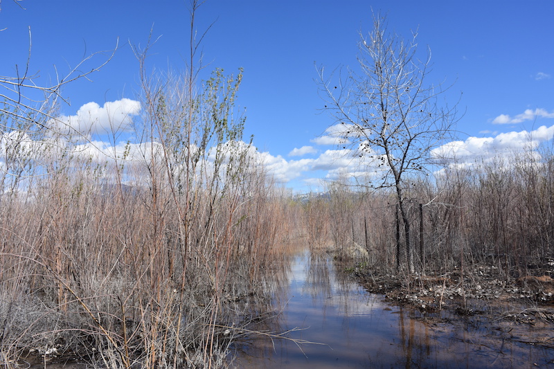
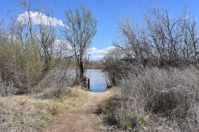
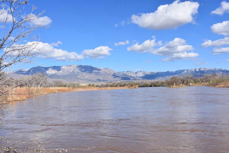
Ein paar Bilder vom Fluss entlang dem die Stadt sich entwickelt hat. Hier nach einige Regentage.
Français, Español, English, Deutsch
Three months to discover the “Land of Enchantment”
Ein paar Bilder vom Fluss entlang dem die Stadt sich entwickelt hat. Hier nach einige Regentage.
En partant de l’Elena Gallegos Open Space (6400f ft./ 1950 m.), le Pino Trail monte tout droit à travers la forêt sur le côté ouest des Sandia Mountains, permettant d’avoir un tant soit peu d’ombre sans pour autant être obligé d’escalader un canyon. Le trail se termine sur un col (9200 ft./2800 m.), où il y a possibilité, outre d’observer la splendide vue tant du côté ouest qu’est, de reprendre le Crest Trail ou de redescendre côté est par le Cienega Trail.
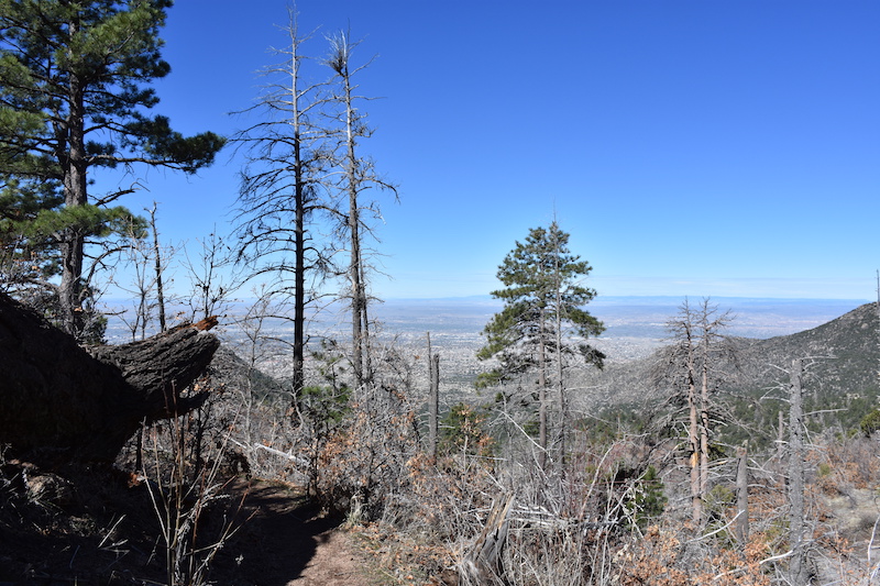
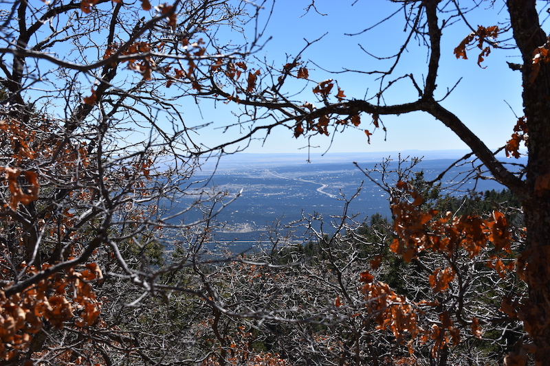
Ayant opté pour le Crest trail (partie finale du Grand Enchantment Trail), il faut redescendre jusqu’à l’intersection avec le Tree Springs Trail et le 10K avant de remonter sur l’arrrivée du Sandia Peak Tramway. Cette partie se trouvant sur le versant est, et en plus d’être dans la forêt n’est pas très exposée, toute la remontée se fait sur la neige! Mais aucun regret lorsqu’en arrivant au point culminant du jour (10’378 ft./3163 m.), on découvre une vue à couper le souffle!


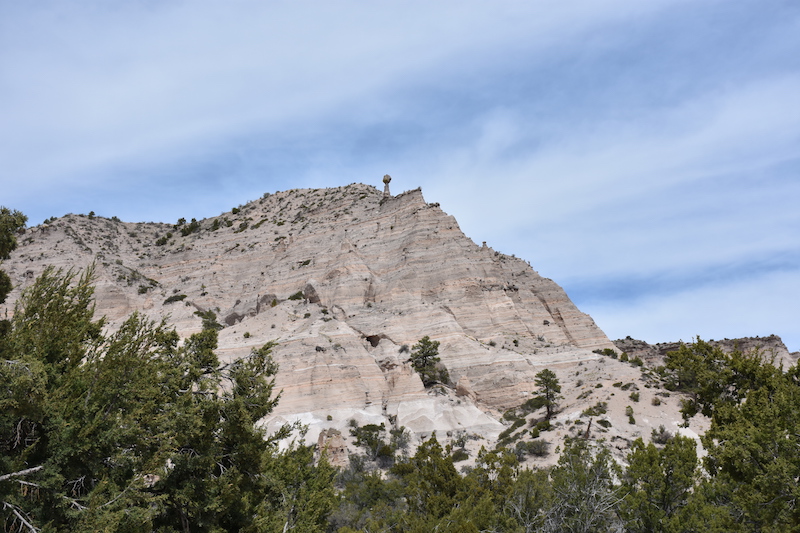
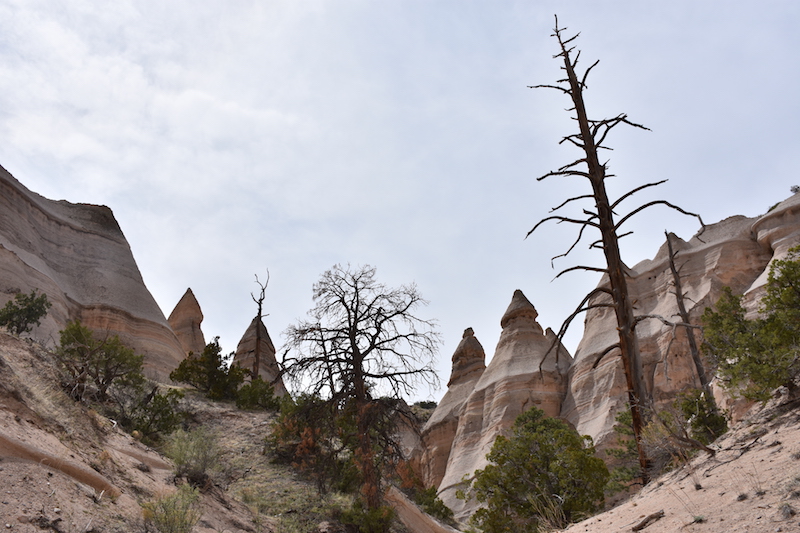
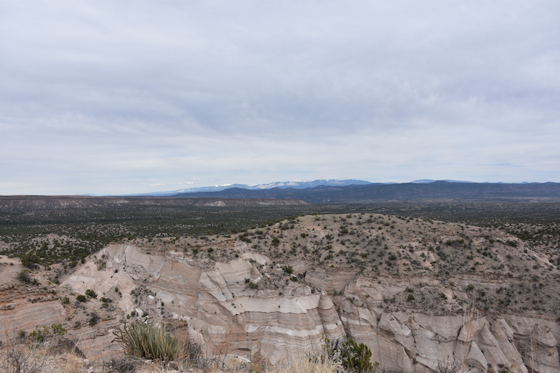
Desgraciadamente, el tiempo no estaba perfecto ayer pero bastó para no llover y obtener fotos bastante buenas. El monumento se situa al suroeste de Santa Fe, cerco al Cochiti Lake. Si puedo dar un consejo, es ir durante la semana… Había tanta gente que a la entrada solo dejaban entrar un coche por cada coche que salía del monumento. Pero a pesar de la muchedumbre, lo pasamos muy bien y difrutamos del paisaje.
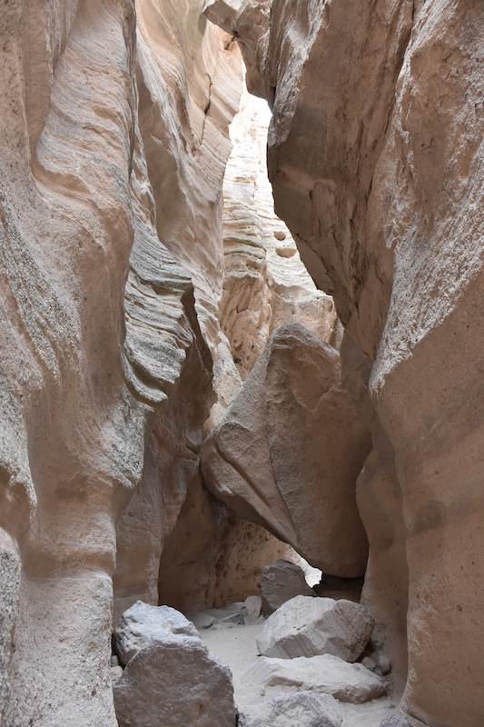
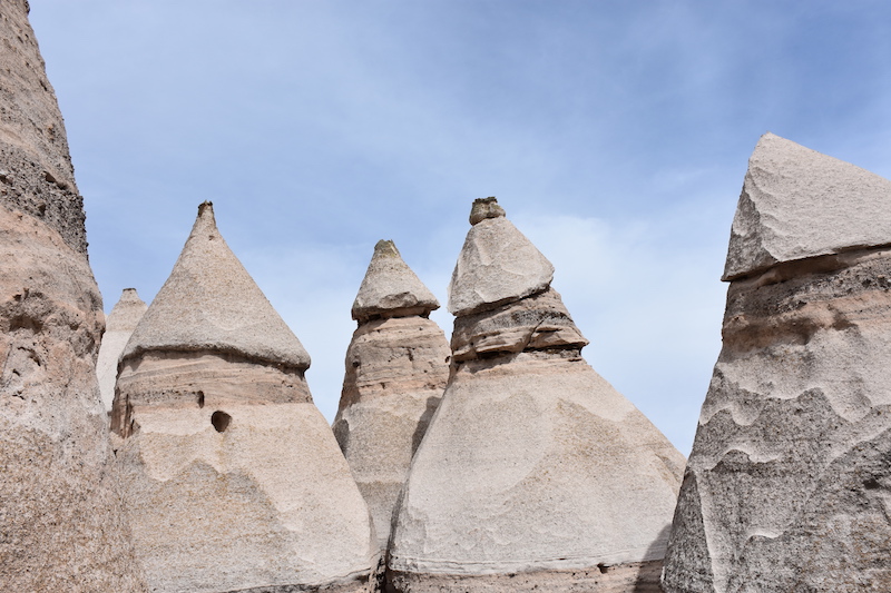
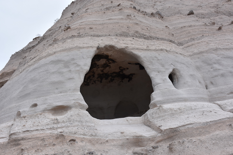
Los Kasha-Katuwe, lo que significa “acantilados blancos” en lenguaje Keresan, son formaciones rocosas que fueron formadas por la erosión. Hace muchos años (6 hasta 7 millones de años) el Jemez Volcano Field depositó capas de cenizas que se pueden ver muy bien en las fotos. Se formaron entonces cañones y los famosos Tent Rocks, que son debidos a la erosión de roca pómez y de toba volcánica debajo de capa de roca.

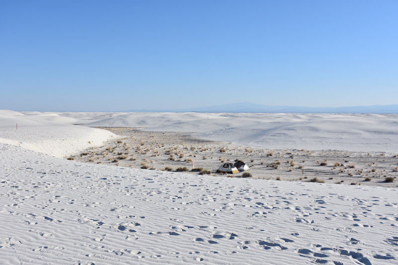
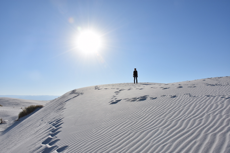
Unfortunately we arrived too late to get a campsite so we didn’t get the chance to sleep within the monument, but we’ve been told that the experience was worth coming back! After the sunset, we drove back to Alamogordo to sleep in a KOA Campground, get some rest and then, early in the morning, go back to the White Sands to see the sunrise!
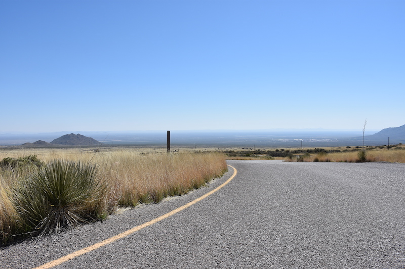
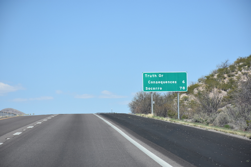
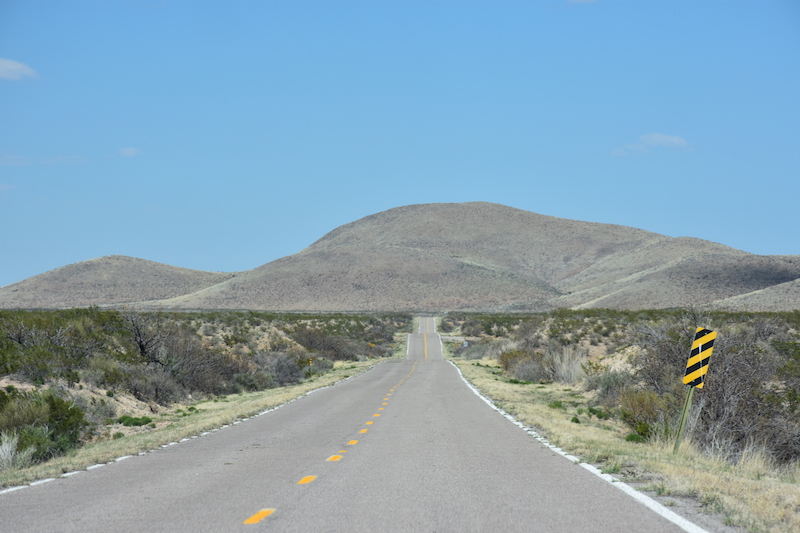
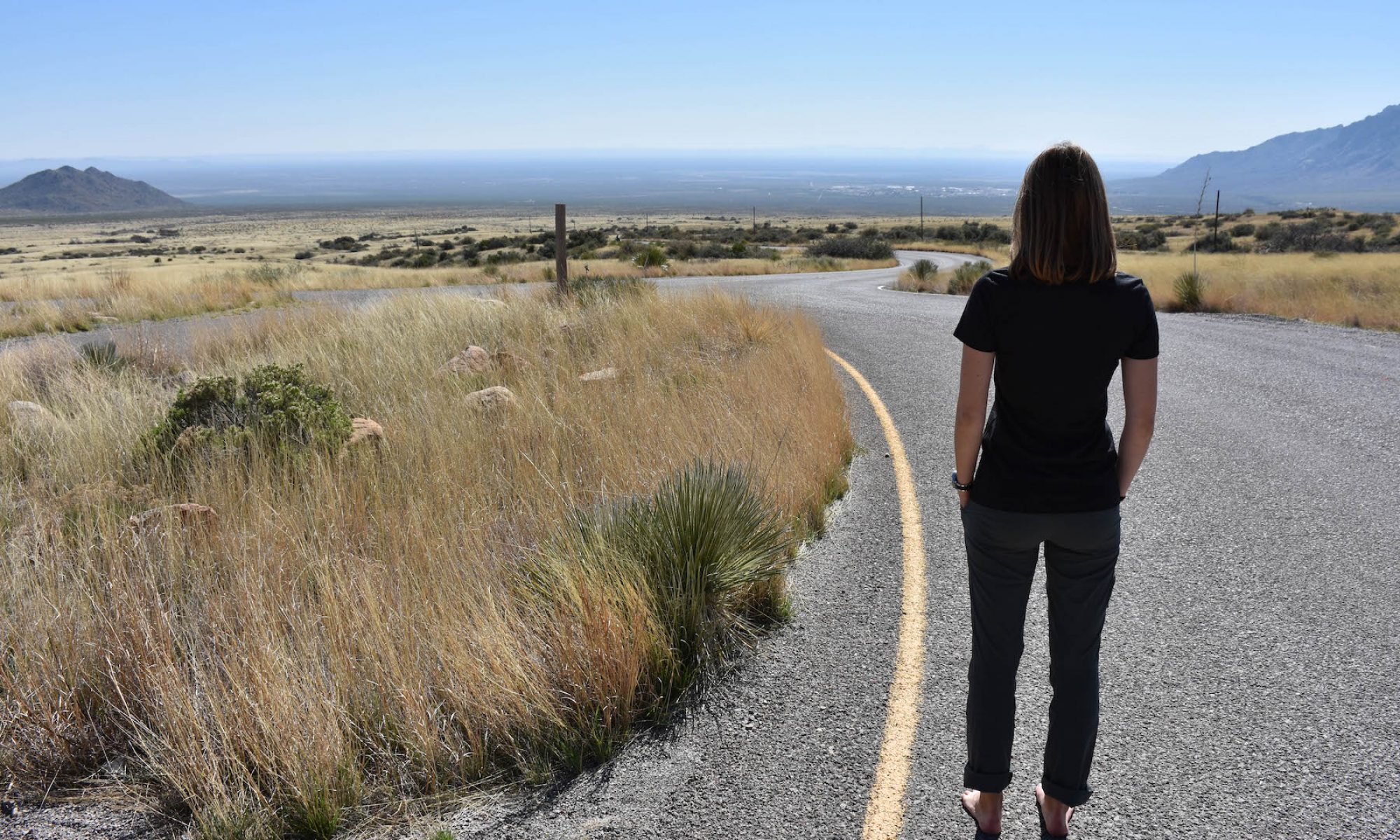
Instead of coming back on the road 380, we went towards southwest until Las Cruces and then took the I 25 back north to Albuquerque. But of course, not without stopping at some places of interest! About 120km north from Las Cruces, the Interstate crosses a city named Truth or Consequences (also called T or C) and no, it’s not a joke! The spa city was originally named Hot Springs, but that was before a NBC radio program (and later television show) gave his name to the city. T or C has grown around hot springs and is still a very touristic attraction, thanks to the Elephant Butte Reservoir (named like this due to a volcanic core said to have the shape of a lying elephant), where recreationers fish, swim and unwind.
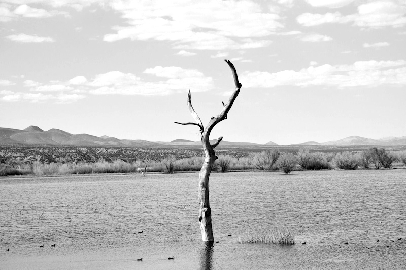
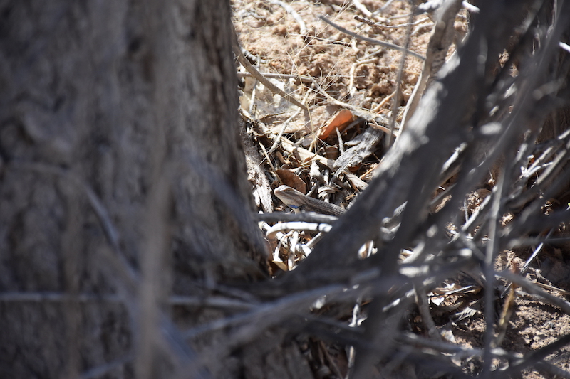
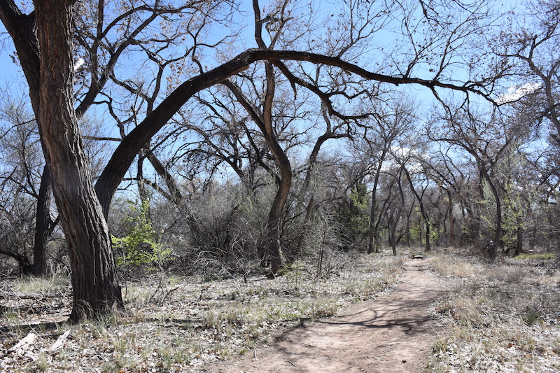
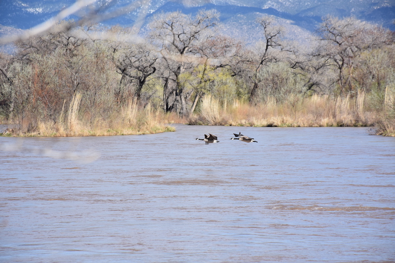
The second and last stop is the Bosque del Apache National Refuge, just before reaching San Antonio. This forest is a green and calm oasis for many migrating species of birds right along the Rio Grande and, therefore, a beautiful place to take a walk and observe nature.
Tired but the head full of beautiful landscapes, we head up to Albuquerque!