The Eye of the Sandias Trail

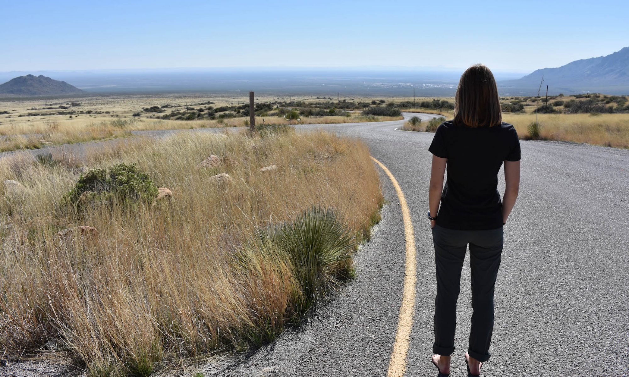
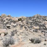
Die schönen Tage sind zurück! Das heißt, ich gehe wiedermal einen von diesen vielen Trails entdecken. The Eye of the Sandias war dieses mal dran. Der Trail startet vom vorletzten Trailhead gegen Süden (Copper Trailhead), und steigt dann zwischen den Felsen bis zum bekannten “Auge”.

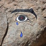
Dieses Auge wurde anscheinend in den 60er Jahren gemalt und seit dann wieder einmal aufgefrischt worden, aber niemand weiss von wem… Eine Legende sagt, dass das Auge eigentlich ein Horusaug ist, ein altägyptisches, beschützendes Sinnbild. In der Region denken die Leute, das weinende Auge zeige die Traurigkeit, die vom Eingriff der Stadt auf die Berge hervorgerufen wird.

Man erreicht die Malerei noch recht schnell, deshalb bin ich dem Trail noch weiter gefolgt, ohne zu wissen, dass es dort eigentlich schon das Ende ist. Ich habe erst hinterher erfahren, dass ich weiter gegen Norden den Embudo Trail (193) getroffen hätte. Aber weil ich das nicht wusste, bin ich umgekehrt und den Mano Trail entlang wieder bis zum Trailhead hinunter gewandert.

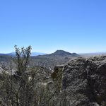
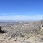
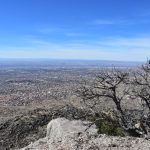
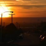
Gegen Süden Siehst du das Auge? Nordwesten Teil der Stadt The Eye of the Sandias Der höchste Punkt meiner Wanderung Sonnenuntergang am Copper Trailhead

Derrière les montagnes

Pourquoi ne pas se rendre de l’autre côté des ces fameuses Sandia Mountains afin de découvrir ce qui s’y trouve? Justement, le Turquoise Trail National Scenic Byway lie Santa Fe à Albuquerque en passant par l’est de la chaîne de montagnes. Cette route totalisant quelques 80km nous fait découvrir un paysage sauvage et inspirant, et relie également plusieurs petits villages dont Madrid, NM, berceau artistique regorgeant de surprises! Parmi elles, quelques étonnantes galeries d’art, restaurant, Bed & Breakfast et même une ancienne mine!

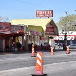
Cathedral Basilica of St. Francis of Assisi, Santa Fe Les joies des miroirs rock - paper - scissors Quelque part... Madrid Madrid

Downtown

Como el sol ha regresado por fin, yo vuelvo a salir mi cámara y me voy por el centro de Albuquerque, Downtown. Es el centro comercial de la ciudad, donde se encuentran todos los edificios altos y, por supuesto, los edificios con vidrio. Pero aunque los edificios llenos de oficinas no suelen ser mucho de colores, ¡aquí se encuentran por todas partes!
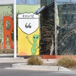
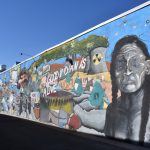
Downtown no sólo es el centro para los negocios sino que es atravesado por un calle histórica; la Central Avenue , que formaba parte de la U.S Route 66, y solía ser el eje de la urbanización de la ciudad. Entonces hay también muchos teatros, galerías de arte, y pinturas. Estoy muy sorprendida cuando empiezo a mirar a mi alrededor; ¡hay obras pintadas detrás de cada esquina!

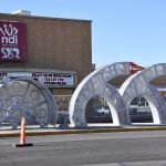
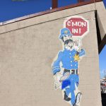
4th St SW 2nd St NW @ Gold Ave SW 2nd St NW @ Central Ave SW 2nd St NW @ Central Ave SW Central Ave SW Gold Ave SW 2nd St NW @ Tijeras Ave NW 4th St NW @ Central Ave SW 7th St SW @ Gold Ave SW

La Luz Trail

It’s my turn to discover one of the fantastic, numerous trails that wander the Sandia Mountains! No need to go very far to get a clear view of the city; the trailhead parking has an elevation of 2150m, while the city is at 1620m. After a smooth start, the trail gets gradually steeper towards the crest. Unfortunately, even in the end of February, there’s is still snow on the trail, so we weren’t able to go further than half of it, but next time for sure!

#PetiteDécouverteDeLaSemaine Did you know that Costa Rica doesn’t have a standardised address system, meaning no street names or numbers? Your address in Costa Rica would look like “200 meters south from the McDonald” or “in front of the 1000 years old olive tree” or even “200 meters south and 450 meters west from the old house”! You’d better know the place by heart if you’re a postman…

First part of the trail through arid-like scenery Junction with the Tramway Trail The trees are getting higher with altitude Snow patches Walking with long clothes despite the sun Albuquerque just before turning back